Home » Special applications » UAV » Applications
UAVs & Sensors | Applications | Products
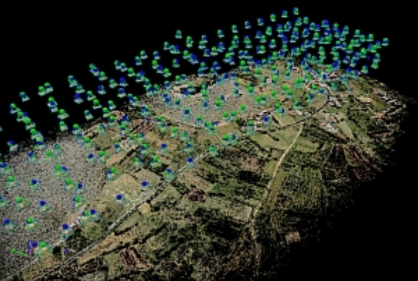
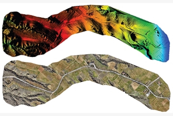
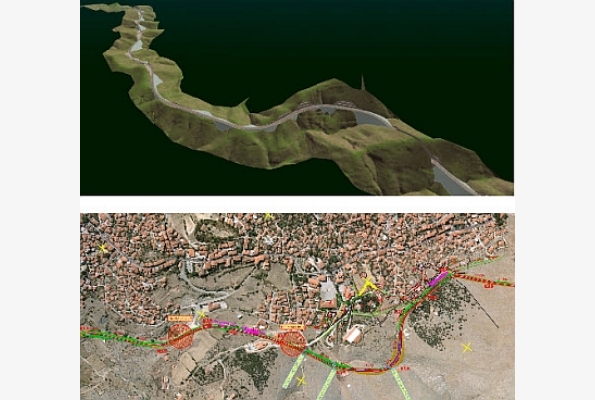
- high accuracy mapping applications (2D/3D)
- cadastral mapping
- photographic documentations for real estate
- video recording
- worksite progress monitoring
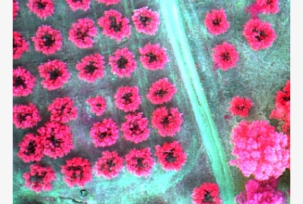
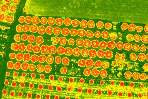
- precision agriculture (diagnosis of crop diseases, fertilization control, phenological cycle monitoring, recording of agricultural damage)
- inspection of infrastructure (buildings, bridges, high-voltage networks, railway transport, public network etc) and energy installations (solar panels, wind parks etc.)
- mapping applications and calculation of mining volumes
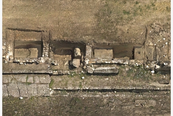
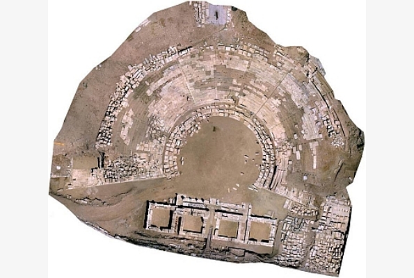
- documentation and preservation of cultural assets (archaeological sites, monuments)
- monitoring of landfills
- monitoring and systematic recording of land use
- environmental applications (control of environmental conditions, fire detection, detection of poisonous gases, coastal pollution monitoring)
- mapping of temperature variations (urban, industrial environment, etc.)
- monitoring of extreme phenomena and recording of destructive effects (disasters/ floods/ storms)
- security – coastline and borders monitoring
